Marine : Carolinas offline GPS nautical chartsBy YANALA REDDY ( 2.990 )
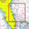
This App offers offline GPS nautical charts, marine navigation maps for fishing, kayaking, boating, yachting, diving, cruising & sailing. Chart Tiles are created from the latest available NOAA RNCs This app is most advanced with latest Nautical ...